Map reading is somewhat of a dying art form given the rise of smartphones and technology in recent years. However, we’re here to convince you to disconnect from your phone and experience the joy of setting off into the wilderness armed only with a paper map.
What is Map Reading?
Map reading, put simply, is the act of interpreting and understanding the geographical information displayed on a map. Arguably, an underrated life skill, learning map reading will (hopefully) ensure you never find yourself lost again.
Why You Need To Know How to Map Read
It’s easy to dismiss paper maps in favour of the seemingly more sophisticated smartphone option. However, how many times have you been out walking only to have your signal disappear along with any sense of direction?
Likewise, disappearing trail signs and the dreaded phone battery death can all be avoided by utilising a paper map when walking.
How to Read a Map
There are loads of different map styles, but once you gain confidence in one map style, techniques can easily be adapted and applied to other maps.
Grid Lines
Familiarising yourself with the grid system that covers a map is the first step towards learning how to read a map.
The faint blue lines running across the map from left to right are called eastings, and lines running from bottom to top are called northings. Each line is accompanied by a number.
The whole of Great Britain is effectively divided in to squares of 100km, and each square is given a two-letter prefix.
The grid reference is the two-letter prefix, followed by the eastings number and then the northings. Having this information allows you to accurately identify your location on the map and provide it to others.
Contour Lines
Alongside the grid lines, maps are covered in fine, wavey lines. These are known as contour lines and can be used to gauge the shape of the land. The closer the contour lines are, the steeper the landscape.
Initially, contour lines can be tricky to grasp. However, once you have an understanding, they can provide crucial details on the geographic features of your walk. Not in the mood for a steep hill? Contour lines can help you navigate a route more suited to your tastes and difficulty level.
Symbols
Many maps include a key to map reading, known as the legend. Legends are designed to ensure paths, hostels, transport stations, and other useful information can easily be identified through simple and easy to interpret symbols.
Before embarking on your walk, it’s advisable to refer to the legend, so you’re familiar with your route and know what you’ll pass along the way.
Orientate
North is considered a neutral orientation and therefore the top of a map always points north.
When learning how to read a compass and map, bear in mind that compasses point to magnetic north and grid north (the map’s north); this can result in a 0° to 5° discrepancy between the two. To rectify, check the legend which advises north at the time of printing; necessary adjustments to your navigation can then be made.
Top tip: don’t be afraid of folding your map to make it easier to navigate. Map wear and tear is testament to a good walk.
Plan
The key to any successful journey is planning. Before starting, make sure you review the map and mark your start and end points. This will help you to calculate the distance between the points and aid in planning your route.
The more familiar you are with the route before setting off, the easier map reading will be en route.
How to Store Your Map
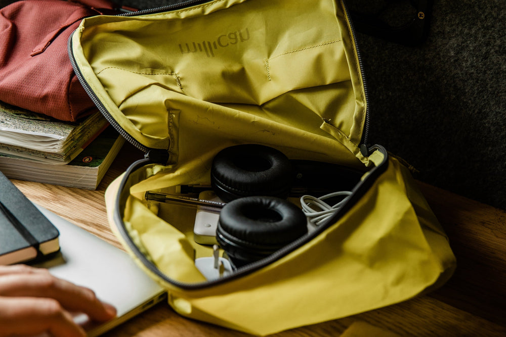
Now that you’re an undisputed expert on map reading, you need to look the part. When setting off on a walk, organisation is key which is why our Fraser The Rucksack is perfect for the job.
With an abundance of functional pockets that are ideal for map storage, Fraser The Rucksack makes sure all your walking essentials are organised and easily accessible. The added benefit of a water repellent finish also ensures that downpours aren’t going to ruin your navigation.


